TL;DR

Prime made for students and young adults
- Fast, free delivery for dorm and study essentials
- Prime Video and Amazon Music included
- Member-only deals
A low-pressure system is forecast to organize over the Ohio Valley late Wednesday and move toward the Mid-Atlantic and Northeast, with rain, gusty winds and possible snow late in the week. Accumulating snow is most likely in higher-elevation and inland areas; the storm’s track and the amount of cold air available remain uncertain.
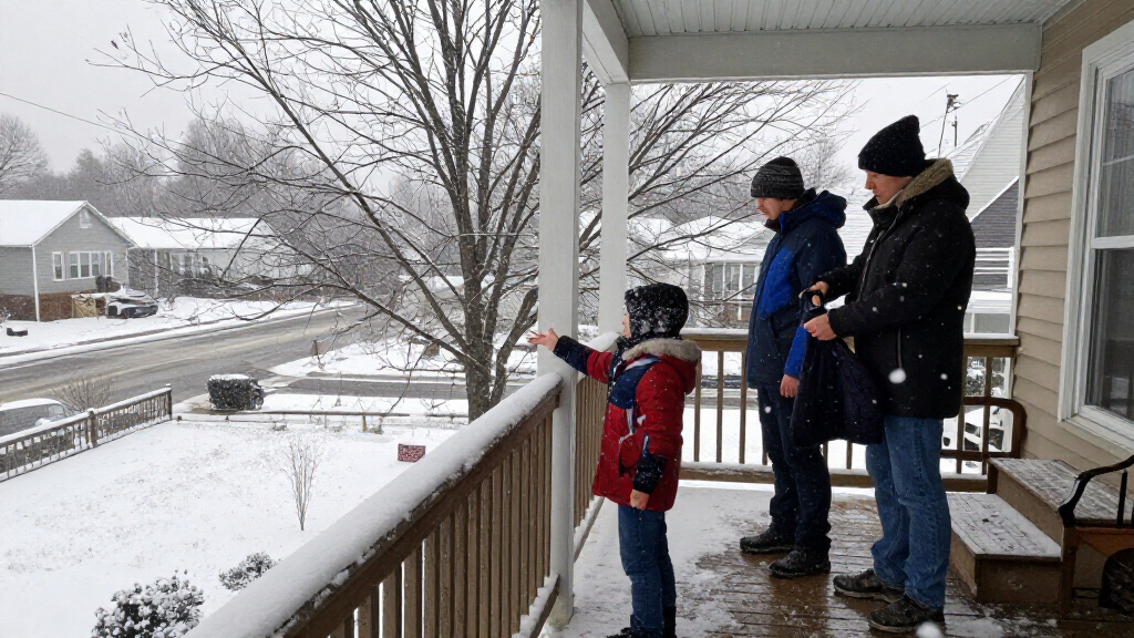
A potential nor’easter could bring rain, gusty winds and the Northeast’s first accumulating snow of the season later this week, as colder air moves into the East. Forecast guidance points to a low-pressure system organizing over the Ohio Valley late Wednesday and moving toward the Mid-Atlantic and Northeast, but forecasters say its eventual track will determine where precipitation falls and whether snow can build up.
The developing system is expected to spread widespread rain across parts of the East, with snow most likely in higher elevations and inland areas. The forecast identifies northern New York, Vermont, New Hampshire and Maine as places where accumulating snow is possible; snow could also extend into parts of the Appalachians. The available forecast does not specify reliable snowfall totals.
Two broad track scenarios remain in play. In one, the low moves inland through the Ohio Valley and eastern Great Lakes, then transfers energy to a secondary low offshore. That setup could leave the immediate coast and the Interstate 95 corridor relatively dry while bringing snow to interior and elevated locations. In another, the storm develops closer to the coast, increasing the chance of rain and gusty winds near the Eastern Seaboard, while inland snow remains possible but may be limited by insufficient cold air.
A track farther offshore is another possibility, though the report says it is not favored at this time. Such a path could push precipitation away from the coast and reduce rain and wind impacts there, while also limiting inland snow. The forecast calls for the system to remain relatively weak and disorganized as it first crosses the Great Lakes and Ohio Valley, with scattered light rain possible before it approaches the Northeast.
Where the First Snow Could Accumulate
The main near-term concern is not a confirmed major snowstorm but the combination of changing precipitation and falling temperatures. For people in higher terrain and inland communities, even a modest first snowfall could affect travel if it accumulates. Along the coast and I-95 corridor, the current forecast favors rain or precipitation that does not stick, but the outcome depends on how the system develops.
The broader temperature shift also matters beyond the storm. The FOX Forecast Center says temperatures are expected to turn noticeably colder beginning Friday, with the cooler pattern likely to continue through next weekend. That change could bring a sharper contrast between conditions in the East and the warmer weather building in the West. The timing and reach of the cold air will influence both the storm’s precipitation type and the risk of snow accumulation.
Popular right now

Dyson Omni-Glide Cordless Stick Vacuum, Gold/Iron

KitchenAid Artisan 5-Quart Tilt-Head Stand Mixer, Almond Cream

Ninja Luxe Café Premier 3-in-1 Espresso Machine, Drip Coffee Maker, and Cold Brew Maker
As an affiliate, we earn on qualifying purchases.
Cold Air Sets Up the Storm
The forecast describes a developing pattern in which a strong ridge over the western United States helps colder Canadian air move south into the Northeast, while warmer conditions build in the West. The report says this arrangement supplies lift and upper-level energy that could support a strengthening low-pressure system. It also characterizes the pattern as one shaped by the polar jet stream rather than a typical El Niño setup.
The system is expected to take shape across the Ohio Valley and Great Lakes before heading toward the Mid-Atlantic and Northeast. The report also points to an unusually early disruption of the stratospheric polar vortex as part of the wider weather pattern. That is background to the forecast, not confirmation that a particular storm track or snowfall outcome is certain.
The forecast timeline places the earliest development late Wednesday, with the low advancing toward the Northeast by Thursday and attempting to strengthen near the coast Friday. The potential impacts are framed for Thursday through Saturday. At this stage, the forecast emphasizes higher elevations as the likeliest snow zone, rather than a widespread snow event along the coast.
““Temperatures will turn noticeably colder beginning Friday, with the cooler pattern likely continuing through next weekend.””
— FOX Forecast Center
Storm Track and Snow Totals
The system’s track, strength and coastal development are not settled. The source describes multiple model scenarios and says several days remain before the storm develops. It does not provide snowfall amounts or a precise probability of accumulation for individual cities, so a specific total or local impact cannot be established from the current information.
How much cold air reaches the storm is also uncertain. The report says limited cold air may prevent snow from accumulating near the coast and could restrict inland totals in the closer-to-coast scenario. A farther-offshore track could reduce precipitation in coastal areas, while an inland track could keep the immediate coast and I-95 corridor drier. The source does not give a final forecast resolving these possibilities.
Forecast Updates Before Thursday
Forecasters are expected to refine the storm’s path and likely precipitation zones as it gets closer. The next key developments are whether the low organizes over the Ohio Valley late Wednesday, how it moves toward the Northeast on Thursday, and whether a secondary coastal low forms as the system approaches on Friday.
Residents should watch local forecasts for updated timing and precipitation details, particularly in northern New York, New England and the Appalachians, where snow is most plausible. Forecasts for the coast and I-95 corridor will depend on the storm track and temperature profile. Until those details become clearer, the possibility of first-season snow remains a forecast risk, not a confirmed widespread accumulation event.
Key Questions
When could the storm affect the Northeast?
The system is forecast to organize late Wednesday, move toward the Northeast by Thursday and potentially strengthen near the coast Friday. The broader window for impacts is Thursday through Saturday.
Where is accumulating snow most likely?
The current forecast places the best chance in higher elevations and inland areas, including northern New York, Vermont, New Hampshire and Maine. Snow could also reach parts of the Appalachians.
Is snow expected to accumulate in New York City or along I-95?
The source says snow mixing in closer to the coast along the I-95 corridor is unlikely to accumulate, because of rain, surface temperatures and limited cold air. The exact outcome could change with the storm’s track.
How much snow is forecast?
The provided forecast does not give dependable snowfall totals. Amounts remain uncertain because the storm track, development and available cold air have not been resolved.
Could the storm miss the coast?
Yes. A track farther offshore is described as possible, though not favored at this time. It could push precipitation away from coastal areas and reduce rain and wind impacts there.
Source: foxweather.com