TL;DR

Prime made for students and young adults
- Fast, free delivery for dorm and study essentials
- Prime Video and Amazon Music included
- Member-only deals
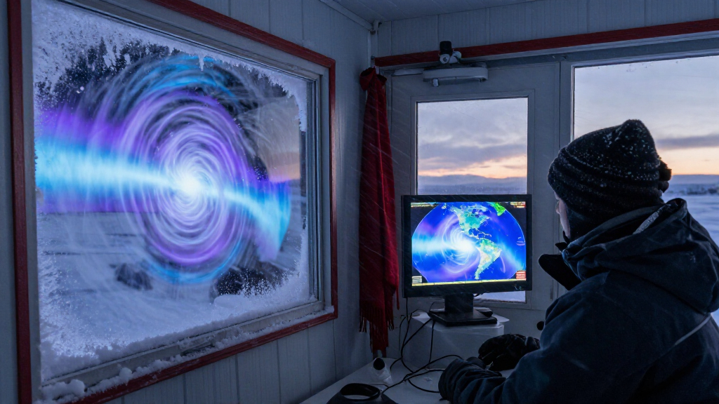
Atmospheric scientists say the Arctic polar vortex is undergoing a disruption unusually early in the season, potentially the earliest on record if it develops as expected. It could influence winter weather in North America, but forecasters do not yet know whether the event will be major or where and when any effects may occur.
Atmospheric scientists are tracking a possible disruption of the Arctic polar vortex that is developing unusually early in the Northern Hemisphere winter, potentially setting a record for the earliest such event if it proceeds as expected. The change could influence weather patterns in North America and Europe, but researchers say it is too soon to know whether it will bring colder conditions, or where and when those effects might occur.
The polar vortex is a broad circulation of cold air in the stratosphere above the Arctic. It typically strengthens through winter and reaches peak intensity in December or January, according to Andrea Lopez Lang, an atmospheric and oceanic sciences professor at the University of Wisconsin–Madison. When the circulation weakens or changes shape, it can indirectly affect the jet stream below, where most day-to-day weather takes place.
Judah Cohen, a climatologist at the Massachusetts Institute of Technology, told Scientific American that a November disruption would be unusually early. The earliest previously recorded sudden stratospheric warming cited in the report occurred on November 28, 1968. The timing of the current situation is described as potentially the earliest on record, but the report does not establish that a record has already been set.
The possible weather effects are not settled. A disruption can leave the vortex displaced, stretched, split into smaller circulations or moving in a different direction. A resulting change in the jet stream could send colder air into parts of North America, but the source report says the event could also remain minor and produce little recognizable impact at the surface.
Possible Effects on Winter Weather
The development matters because changes high in the atmosphere can shape the movement of weather systems closer to the ground. If the vortex disruption alters the polar jet stream, it may affect the path of cold air and influence temperatures across parts of North America or Europe in the coming weeks.
That possibility complicates expectations for the winter. The report notes that an El Niño year had led meteorologists to expect relatively mild winter conditions in North America. A polar vortex disruption could shift that outlook in some areas, but it does not by itself establish that a widespread or prolonged cold spell is coming. The location, duration and strength of any effects remain uncertain.
For readers, the key distinction is between an atmospheric signal and a local forecast. A disruption can raise the chance of weather pattern changes without telling residents exactly what conditions they will experience. The report provides no specific city-level forecast or confirmed date for a cold-air outbreak.
Popular right now

Shark IQ Robot Self-Empty XL Robot Vacuum with Home Mapping, Self-Cleaning Brushroll, and Wi-Fi, Black

Dyson Car+Boat Cordless Handheld Vacuum

De'Longhi La Specialista Touch Espresso Machine with Coffee Grinder
As an affiliate, we earn on qualifying purchases.
How the Vortex Shapes Forecasts
The vortex forms in the stratosphere, roughly 10 to 30 miles above Earth’s surface, and is distinct from the jet stream in the troposphere, the lower layer where most weather occurs. Its strong winter circulation generally helps keep cold air near the pole. The connection to surface weather is indirect: changes in the stratospheric circulation can affect the jet stream and, in turn, weather patterns farther south.
Atmospheric waves known as Rossby waves can disturb the vortex. A substantial disturbance is called a sudden stratospheric warming, though the name refers to a rapid temperature rise in the stratosphere rather than a warm spell at the surface. These events vary in strength. Cohen told Scientific American that some are minor, while others are major enough to become significant events in the historical record.
The timing is unusual because such disruptions generally occur later in winter, according to Cohen. The cited 1968 date provides a comparison for the potential record claim; the available report does not provide a confirmed measurement date or a final classification for the current disturbance.
““It looks like we’re going to have a disruption. Where everything sets up is still in question.””
— Andrea Lopez Lang, University of Wisconsin–Madison atmospheric and oceanic sciences professor
Strength and Location Remain Unknown
It is not yet clear whether the developing disturbance will qualify as a major sudden stratospheric warming or remain minor. The report says a disruption appears likely, but it does not establish its final strength, whether the vortex will split, or whether it will lead to a measurable change in surface weather.
Forecasters also do not yet know where or when any colder conditions might develop, how long they could last, or which regions would be affected. The potential early-record timing is presented as conditional; the cited report does not say that a new record has been confirmed. The available information also does not provide updated forecasts or later observations that would resolve these questions.
Watch for Forecast Updates
Scientists and forecasters will need to track how the vortex evolves and whether its changes influence the jet stream. Further observations can help establish whether the event is minor or major and whether a surface-weather response takes shape.
For now, the next useful milestone is a clearer forecast of where and when any effects may occur. The source report does not specify a date for that assessment or announce a confirmed cold-weather event. Until the atmospheric pattern and local forecasts become clearer, the possibility of colder conditions should not be treated as a specific prediction for any particular community.
Key Questions
What is happening to the polar vortex?
Scientists are monitoring a possible early-season disruption of the Arctic polar vortex. The source report says a disruption appears likely, but its final strength and effects are not yet established.
Does this mean a cold spell is coming?
Not necessarily. A disruption can influence the jet stream and could bring colder air to parts of North America, but the report says whether that will happen, and where, remains unclear.
Why is the timing unusual?
Polar vortex disruptions generally occur later in winter. The earliest previous event cited in the report was recorded on November 28, 1968; the current event’s potential record timing remains conditional.
What is a sudden stratospheric warming?
It is a substantial disruption of the polar vortex associated with a rapid warming in the stratosphere. Despite the name, it does not mean surface temperatures will become warmer; surface weather effects can vary.
When will the weather impact be known?
The source report gives no date for a definitive forecast. Scientists will need more observations to determine the event’s strength and whether it changes weather patterns near the surface.
Source: scientificamerican.com